Jackson, Wyo. — At 11:35 a.m. on Wednesday, June 25, Teton County Search & Rescue received an alert regarding an injured mountain biker in Black Canyon. The biker, a local 27-year-old woman, was descending the trail when she clipped a tree and went over the handlebars. The crash caused injuries that prevented her from riding or walking out on her own.

TCSAR volunteers transport an injured mountain biker down the Black Canyon trail on June 25, 2025. Photo: TCSAR
Without cell service in the canyon, the woman’s companion pedaled back up the trail until she could make an emergency call, and then returned to the scene. A TCSAR volunteer who lives near Wilson responded directly and ran up the trail from the Old Pass Road trailhead. This volunteer was followed by other volunteers on foot and on bikes.
Once on scene, the volunteers assessed the woman’s condition and packaged her for transport in the wheeled litter. The team transported the patient in the litter for about three miles down to the Old Pass Road, where a family member drove her to higher medical care.
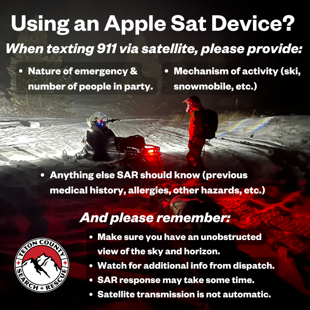
As a friendly reminder, here are some options to help backcountry users contact 911 when there is little to no cellular service:
BackcountrySOS is a free app that allows you to connect to dispatch with minimal cell service. A great option for those who live in the region.
New Apple iPhones have satellite text-to-911 capability, as long as you have a clear view of the sky and horizon.
Satellite communication devices, such as the Garmin inReach, can connect you to emergency services as well, and require a subscription.